
Found 10 datasets matching "Central Snake River Plain".
-
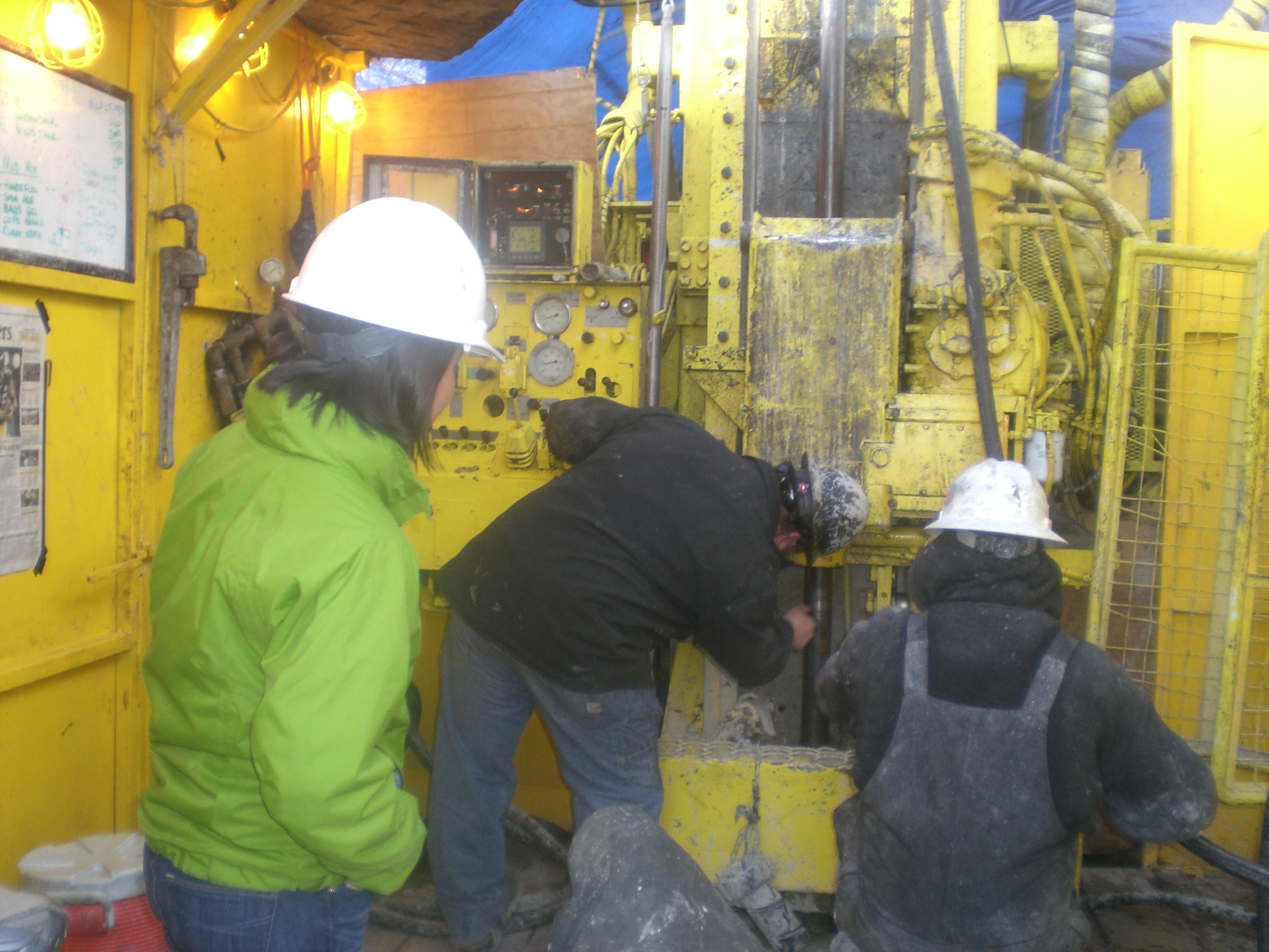
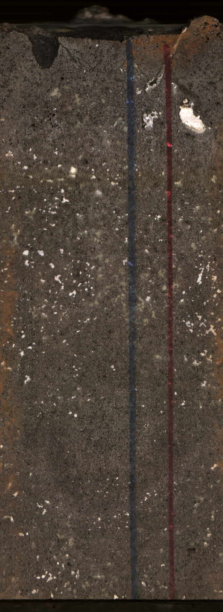
This submission contains links to two open source published papers on the Kimama core hole, Project Hotspot. "Volcanic stratigraphy and age model of the Kimama deep borehole (Project Hotspot)" -...
Search relevance: 114.33 | Views last month: 0 -
The Snake River Plain (SRP), Idaho, hosts potential geothermal resources due to elevated groundwater temperatures associated with the thermal anomaly Yellowstone-Snake River hotspot. Project...
Search relevance: 96.93 | Views last month: 0 -
The Snake River Plain (SRP), Idaho, hosts potential geothermal resources due to elevated groundwater temperatures associated with the thermal anomaly Yellowstone-Snake River hotspot. Project...
Search relevance: 94.65 | Views last month: 0 -
Eighty-one monitoring plots within the Minidoka National Wildlife refuge on the Snake River Plain in south-central Idaho were surveyed in July-August from 2020 to 2023 to evaluate the effects of...
Search relevance: 86.37 | Views last month: 0 -
This submission includes the final project report of the Snake River Plain Play Fairway Analysis project as well as a separate appendix for the final report. The final report outlines the...
Search relevance: 61.72 | Views last month: 0 -
This coverage displays the official exterior boundaries of the Craters of the Moon National Monument as surveyed by the BLM in 2001 or obtained from previously approved BLM survey plats. This...
Search relevance: 49.14 | Views last month: 0 -
A natural consequence of groundwater withdrawals is the removal of water from subsurface storage, but the overall rates and magnitude of groundwater depletion in the United States are not well...
Search relevance: 37.17 | Views last month: 5 -
The USGS Central Region Energy Team assesses oil and gas resources of the United States. The onshore and State water areas of the United States comprise 71 provinces. Within these provinces, Total...
Search relevance: 31.42 | Views last month: 4 -
This dataset contains estimates of water withdrawals from 66 principal aquifers and "other" non-principal aquifers during 2015 for various categories of use in each county or county equivalent in...
Search relevance: 31.38 | Views last month: 0 -
The NNW-striking Madison fault zone is approximately 95 km in length, lying at the confluence of the northeast Basin and Range province and the Yellowstone tectonic parabola. The fault zone...
Search relevance: 29.22 | Views last month: 1
