
Found over 10000 datasets matching "OCEAN".
Quotes find exact phrases: "flood zones" |
OR finds either term: crops OR agriculture |
Searches dataset titles, descriptions, tags, and publishers
-
As a part of PacIOOS, ocean gliders provide very detailed information about the physical and chemical condition of the waters around the Hawaiian Islands. Additionally, these data get used in...
Search relevance: 75.34 | Views last month: 0 -
As a part of PacIOOS, ocean gliders provide very detailed information about the physical and chemical condition of the waters around the Hawaiian Islands. Additionally, these data get used in...
Search relevance: 75.29 | Views last month: 1 -
As a part of PacIOOS, ocean gliders provide very detailed information about the physical and chemical condition of the waters around the Hawaiian Islands. Additionally, these data get used in...
Search relevance: 74.74 | Views last month: 0 -
Ocean Acidification and Hypoxia (OAH) and ecosystem monitoring project locations compiled by Ocean Protection Council staff.
Search relevance: 69.31 | Views last month: 1 -
Regional Ocean Modeling System (ROMS) 7-day, 3-hourly forecast for the region surrounding the islands of Samoa at approximately 3-km resolution. Boundary conditions provided by the global,...
Search relevance: 68.33 | Views last month: 1 -
Regional Ocean Modeling System (ROMS) 7-day, 3-hourly forecast for the region surrounding the island of Oahu at approximately 1-km resolution. Boundary conditions provided by the wider ROMS model...
Search relevance: 67.96 | Views last month: 0 -
Regional Ocean Modeling System (ROMS) 7-day, 3-hourly forecast for the region surrounding the main Hawaiian Islands at approximately 4-km resolution. Boundary conditions provided by the global,...
Search relevance: 67.38 | Views last month: 1 -
Regional Ocean Modeling System (ROMS) 3-day, hourly forecast and 3-day, hourly hindcast for the region surrounding Kaneohe Bay on the windward (eastern) shore of the island of Oahu at...
Search relevance: 66.97 | Views last month: 0 -
Regional Ocean Modeling System (ROMS) 7-day, 3-hourly forecast for the region surrounding the Western North Pacific at approximately 8-km resolution. Boundary conditions provided by the global,...
Search relevance: 66.90 | Views last month: 0 -
Regional Ocean Modeling System (ROMS) 3-day, 3-hourly data assimilating hindcast for the region surrounding the islands of Samoa at approximately 3-km resolution. Boundary conditions provided by...
Search relevance: 66.84 | Views last month: 1 -
Regional Ocean Modeling System (ROMS) 6-day, 3-hourly forecast for the region surrounding Guam and parts of the Commonwealth of the Northern Mariana Islands (CNMI) at approximately 2-km...
Search relevance: 66.79 | Views last month: 0 -
A global data set of ocean distances from the nearest coastline. NASA's Ocean Biology Processing Group (OBPG) generated this data set using the Generic Mapping Tools (GMT) software package....
Search relevance: 66.48 | Views last month: 6 -
Regional Ocean Modeling System (ROMS) 3-day, hourly forecast and 3-day, hourly hindcast for the region surrounding the Waikiki area of the island of Oahu at approximately 40-m resolution. Boundary...
Search relevance: 66.16 | Views last month: 0 -
Regional Ocean Modeling System (ROMS) 3-day, 3-hourly forecast for the region surrounding the south shore of the island of Oahu at approximately 200-m resolution. Boundary conditions provided by...
Search relevance: 66.01 | Views last month: 0 -
Regional Ocean Modeling System (ROMS) 3-hourly data assimilating reanalysis for the region surrounding the main Hawaiian Islands at approximately 4-km resolution. Boundary conditions provided by...
Search relevance: 65.81 | Views last month: 0 -
A global data set of ocean distances from the nearest coastline. NASA's Ocean Biology Processing Group (OBPG) generated this data set using the Generic Mapping Tools (GMT) software package....
Search relevance: 65.70 | Views last month: 20 -
Regional Ocean Modeling System (ROMS) 3-day, 3-hourly data assimilating hindcast for the region surrounding the main Hawaiian Islands at approximately 4-km resolution. Boundary conditions provided...
Search relevance: 65.50 | Views last month: 0 -
MetadataThese data show the lessees’ proposed or installed locations of buoys, meteorological towers, or other observing devices. These data will be updated as new publicly available information...
Search relevance: 65.18 | Views last month: 2 -
Regional Ocean Modeling System (ROMS) 5-day, 3-hourly data assimilating hindcast for the region surrounding the Western North Pacific at approximately 8-km resolution. Boundary conditions provided...
Search relevance: 65.01 | Views last month: 3 -
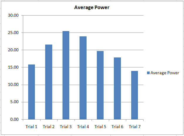
These files collectively provide a comprehensive overview of the testing process, data analysis, and validation for the Twin Ocean Power device tested at the O.H. Hinsdale Wave Research...
Search relevance: 64.75 | Views last month: 2
