
Found 187 datasets matching "Rio Grande River".
-
Timeseries data from 'REDWILLOW RIVER NEAR RIO GRANDE' (ca_hydro_07GD004)
Search relevance: 203.99 | Views last month: 0 -
These data were converted from the originally delivered Microsoft Access PLOTs database from the Vegetation Mapping Inventory Project of Rio Grande Wild and Scenic River. These comma-delimited...
Search relevance: 196.04 | Views last month: 0 -
This reference contains the imagery data used in the completion of the baseline vegetation inventory project for the NPS park unit. Orthophotos, raw imagery, and scanned aerial photos are common...
Search relevance: 171.76 | Views last month: 0 -
This Data Release contains various types of hydrologic and geologic data from the Pecos River Basin during 1900–2015, including water-quality data compiled and synthesized from various sources...
Search relevance: 168.71 | Views last month: 0 -
This part of the Data Release contains the water-quality data compiled and synthesized from various sources (including data from water-quality samples collected by the USGS in 2015 from 26 sites)....
Search relevance: 166.82 | Views last month: 0 -
These ESRI shape files are of National Park Service tract and boundary data that was created by the Land Resources Division. Tracts are numbered and created by the regional cartographic staff at...
Search relevance: 158.48 | Views last month: 5 -
A three-dimensional groundwater-flow model (MODFLOW-2000 ) of the Kirkwood-Cohansey aquifer system, Rio Grande water-bearing zone, and Atlantic City 800-foot sand in the Great Egg Harbor and...
Search relevance: 134.99 | Views last month: 1 -
This dataset contains input parameter and data files, as well as output files for simulations prior to the distribution of parameters from near-native subbasins to uncalibrated hydrologic response...
Search relevance: 131.66 | Views last month: 0 -
Hydrographic and Impairment Statistics (HIS) is a National Park Service (NPS) Water Resources Division (WRD) project established to track certain goals created in response to the Government...
Search relevance: 128.23 | Views last month: 0 -
This dataset summarizes various sedimentary data from ten U.S. Geological Survey (USGS) surface water sites across the contiguous United States. These sites include: 01648010 Rock Creek at Joyce...
Search relevance: 127.79 | Views last month: 1 -
These data are channel morphology survey points for long-term monitoring of the Rio Grande-Rio Bravo within Big Bend National Park and the Rio Grande Wild and Scenic River. The National Park...
Search relevance: 127.28 | Views last month: 0 -
A digital representation of the watersheds of 43 sites on large river systems sampled by the National Stream Quality Accounting Network (NASQAN) of the U. S. Geological Survey (USGS) in 2000 was...
Search relevance: 117.56 | Views last month: 0 -
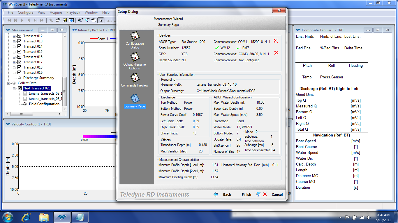
As part of the initial site investigation for the Tanana River near Nenana, Alaska, a set of transects was completed on August 10th, 2010. This data was collected with a Rio Grande 1200 Teledyne...
Search relevance: 116.79 | Views last month: 0 -
These data represent reproductive ecology characteristics for 4 species of mature female turtles captured at Elephant Butte Reservoir on the Rio Grande River in New Mexico, during two field survey...
Search relevance: 116.20 | Views last month: 0 -
As part of the initial site investigation for the Tanana River near Nenana, Alaska, a set of transects was completed on September 23rd, 2010. Similar to the one done on August 10th, 2010. This...
Search relevance: 116.06 | Views last month: 0 -
These data are spatial polygon data and remote sensing image-based classification maps of surface water and vegetation species for 2012 along the Rio Grande River in Big Bend National Park in...
Search relevance: 112.12 | Views last month: 0 -
This part of the data release contains the geospatial data collected by the USGS during the Pecos River salinity assessment. The data includes a feature class of the study area boundary and the...
Search relevance: 109.85 | Views last month: 0 -
This dataset presents observations and measurements of riparian plant invasion, community composition, and environmental conditions at 238 bridge crossings in four western USA river basins: the...
Search relevance: 108.81 | Views last month: 0 -
This part of the data release contains historical streamflow data compiled from the literature and evaporation loss estimates used in the streamflow gain loss equation.
Search relevance: 107.51 | Views last month: 0 -
Riparian ecosystems are valuable to the ecological and human communities which depend on them. Over the past century, they have been subject to shifting management practices to maximize human use...
Search relevance: 100.76 | Views last month: 0
