
Found 1421 datasets matching "photos".
-
Photos of catch, methodology, scientists, and habitat organized by year and month 2009-current.
Search relevance: 112.95 | Views last month: 1 -
Aerial photos taken of San Francisco between 1938 and 2017.
Search relevance: 105.65 | Views last month: 0 -
These core photos and descriptions were taken from the five boreholes that were drilled as part of the kISMET SubTER project conducted at the Sanford Underground Research Facility (SURF) in Lead,...
Search relevance: 105.18 | Views last month: 0 -
Posting Photos of Parking Signs / Street Space Permits. Related parking sign/ street space permit data is here: https://data.sfgov.org/d/sftu-nd43
Search relevance: 104.60 | Views last month: 1 -
Observers are required to take photos and/or videos of all incidentally caught sea turtles, marine mammals, seabirds and unusual or rare fish. On the first 3 observed trips observers are also...
Search relevance: 100.31 | Views last month: 0 -
The Snake River Plain (SRP), Idaho, hosts potential geothermal resources due to elevated groundwater temperatures associated with the thermal anomaly Yellowstone-Snake River hotspot. Project...
Search relevance: 98.12 | Views last month: 0 -
Photos and detailed downhole lithology notes for wells CGEH-1 and 74-2 at the West Flank Coso, Ca FORGE location.
Search relevance: 97.69 | Views last month: 0 -
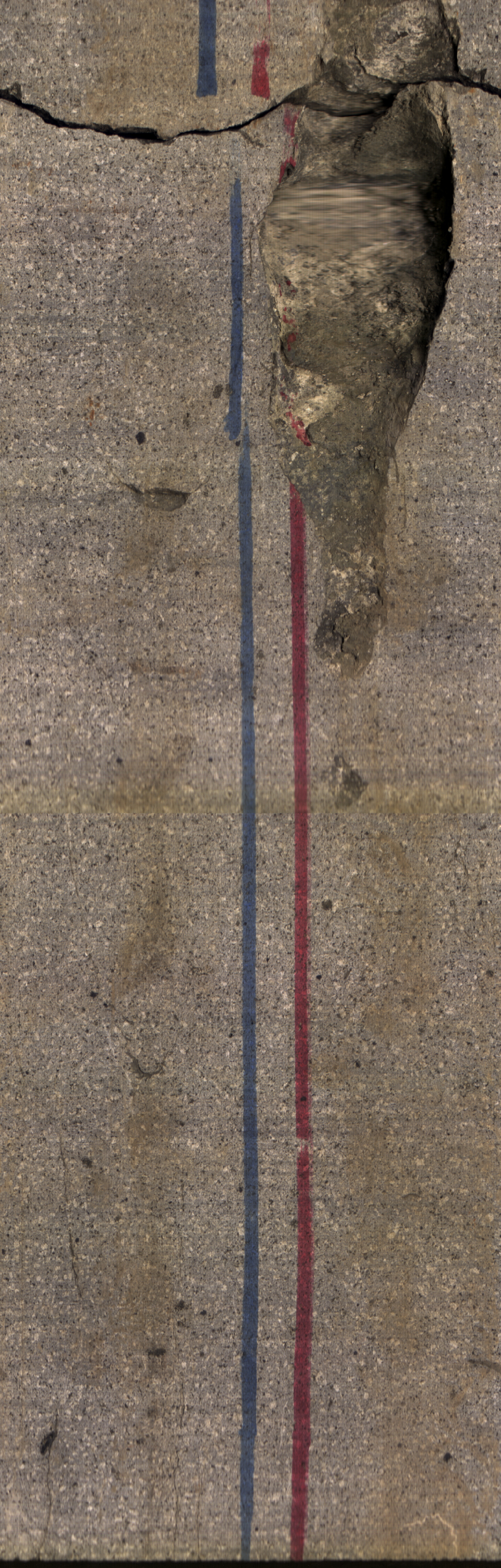
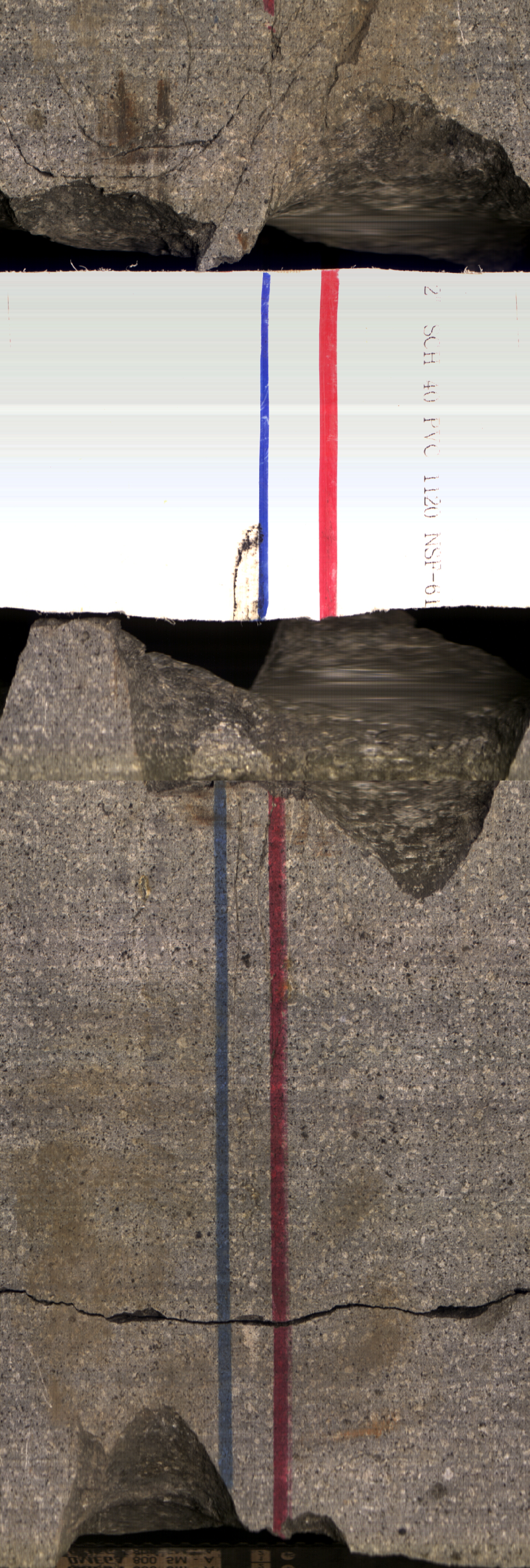
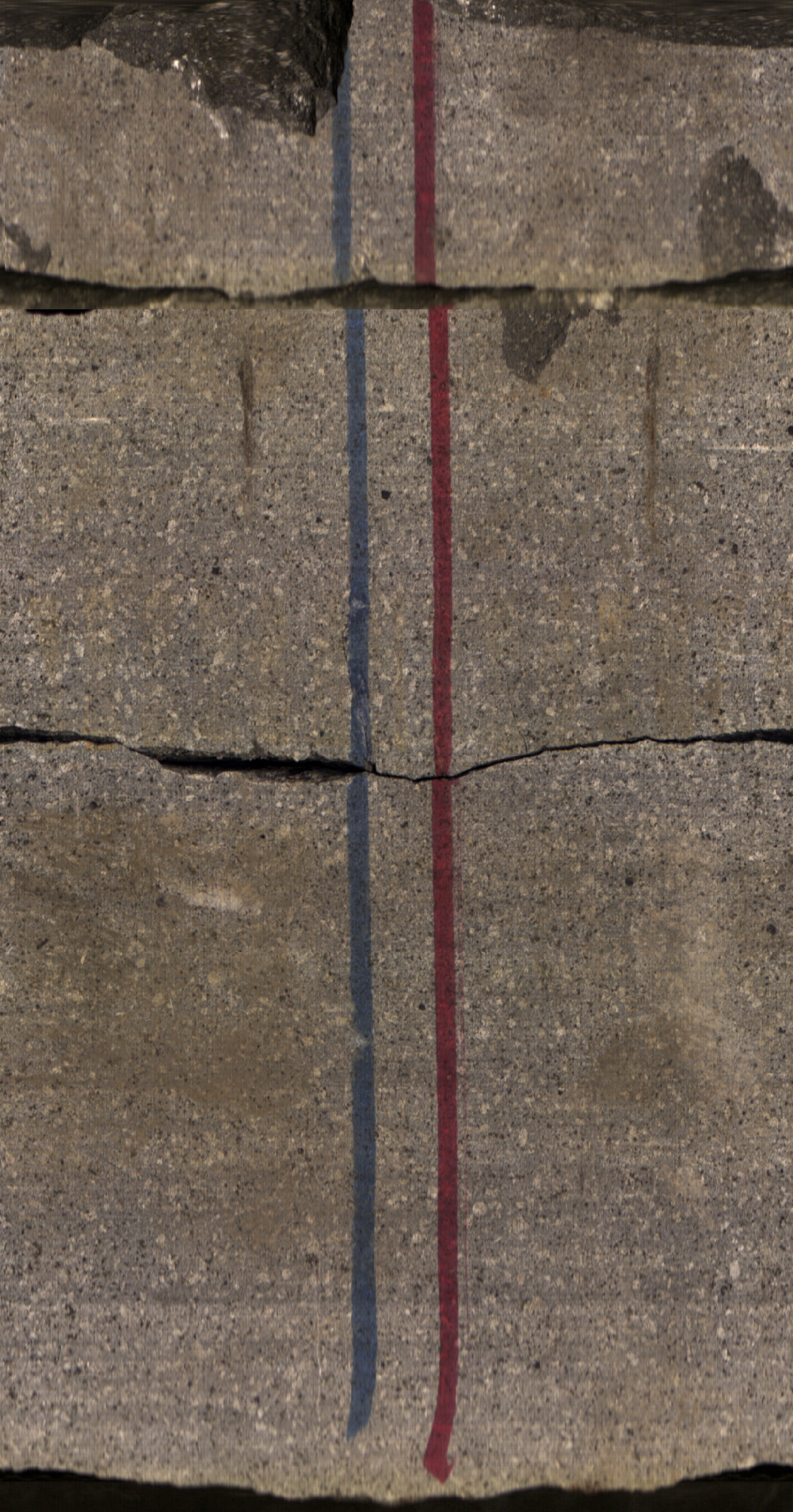
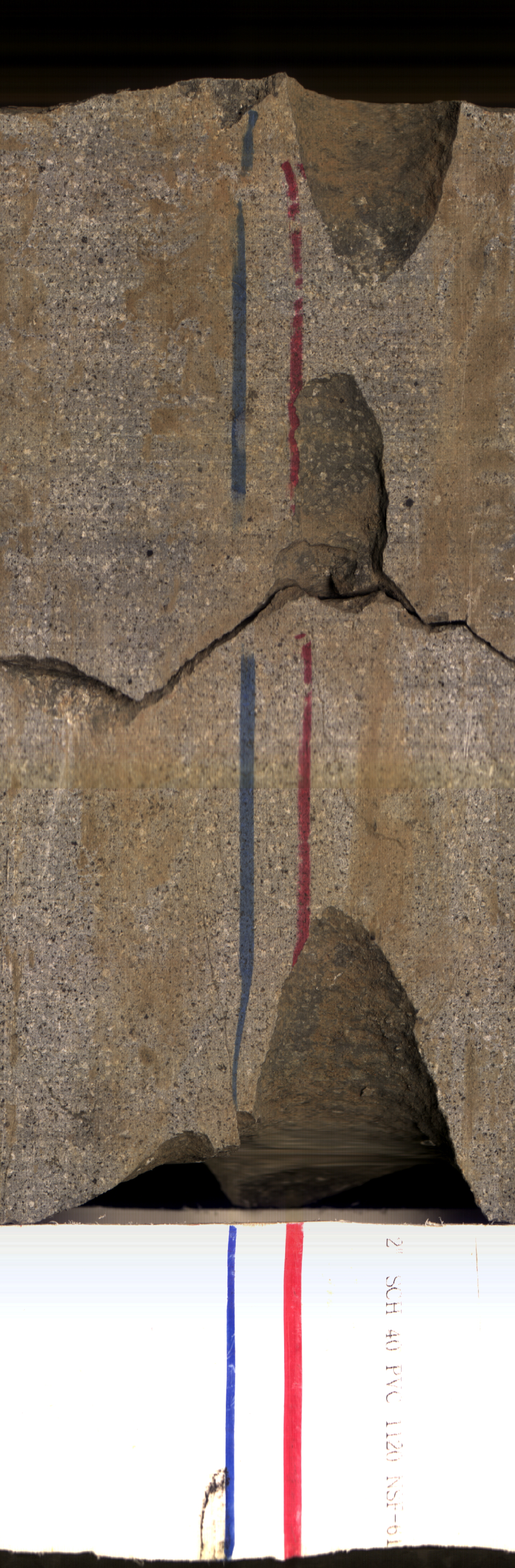
This is a set of 42 core photos, in boxes, from Utah FORGE well 78B-32. The photos show the core both wet and dry from depths of 6700 - 6737 feet and 8502 - 8538 feet.
Search relevance: 96.39 | Views last month: 1 -
Photos of catch, methodology, scientists, and habitat organized by year and month, 2003-current.
Search relevance: 93.83 | Views last month: 0 -
The Snake River Plain (SRP), Idaho, hosts potential geothermal resources due to elevated groundwater temperatures associated with the thermal anomaly Yellowstone-Snake River hotspot. Project...
Search relevance: 92.00 | Views last month: 0 -
The Snake River Plain (SRP), Idaho, hosts potential geothermal resources due to elevated groundwater temperatures associated with the thermal anomaly Yellowstone-Snake River hotspot. Project...
Search relevance: 91.60 | Views last month: 0 -
Seventeen streamflow-gaging stations, operated by the U.S. Geological Survey and distributed across the Ouachita Mountains of Arkansas and Oklahoma were selected for analysis. Regional hydraulic...
Search relevance: 90.78 | Views last month: 0 -
Photos of core samples from Lanai Island. During the third phase of the Hawaii Play Fairway project, further exploration involved drilling a groundwater well in Lanai's Palawai Basin and...
Search relevance: 82.61 | Views last month: 1 -
This data is in the form of JPEG still photos taken every 15 seconds from a benthic habitat towboard being towed by small boats at Palmyra Atoll between March 26 and April 5, 2004. The towboard is...
Search relevance: 75.67 | Views last month: 0 -
This is a layer of aerial photos acquired from the Modoc National Forest with photo dates throughout the summer of 1994, scanned and orthorectified by the Geographical Information Center,...
Search relevance: 74.65 | Views last month: 0 -
This data is in the form of JPEG still photos taken every 15 seconds from a benthic habitat towboard being towed by small boats at Jarvis Island between March 26 and April 5, 2004. The towboard is...
Search relevance: 74.09 | Views last month: 1 -
These are original photos from a stratified random survey to inventory the birds breeding in lowlands (elevation below 100m) of the Alaska Peninsula, during summers 2004-2007. Data were collected...
Search relevance: 73.61 | Views last month: 0 -
This dataset contains photos taken by scientists aboard the CARVE aircraft during airborne campaigns over the Alaskan and Canadian Arctic for the Carbon in Arctic Reservoirs Vulnerability...
Search relevance: 73.14 | Views last month: 0 -
This data is in the form of JPEG still photos taken every 15 seconds from a benthic habitat towboard being towed by small boats at Kingman Island between March 26 and April 5, 2004. The towboard...
Search relevance: 72.12 | Views last month: 0 -
The data in this release map Marconi Beach, Head of the Meadow Beach, and Nauset Light Beach, in Cape Cod National Seashore (CACO), Massachusetts, before and after Hurricane Lee in September 2023....
Search relevance: 71.27 | Views last month: 1
