
Found 60 datasets matching "volcanic aquifer".
-
The Southern Nevada volcanic-rock aquifers reside in southern-central Nevada. This group of aquifers can be categorized into welded tuff, bedded tuff, and lava flow aquifers. Each of these...
Search relevance: 162.10 | Views last month: 0 -
A three-dimensional, groundwater-flow model (MODFLOW-2005) was developed to estimate the hydraulic properties (e.g., transmissivity, hydraulic conductivity, specific yield, and specific storage)...
Search relevance: 105.25 | Views last month: 0 -
The U.S. Geological Survey’s Water Availability and Use Study Program (WAUSP) (https://water.usgs.gov/ogw/gwrp/activities/regional.html) supports quantitative assessments of groundwater...
Search relevance: 102.66 | Views last month: 1 -
The U.S. Geological Survey’s Water Availability and Use Study Program (WAUSP) (https://water.usgs.gov/ogw/gwrp/activities/regional.html) supports quantitative assessments of groundwater...
Search relevance: 92.97 | Views last month: 0 -
The U.S. Geological Survey’s Water Availability and Use Study Program (WAUSP) (https://water.usgs.gov/ogw/gwrp/activities/regional.html) supports quantitative assessments of groundwater...
Search relevance: 92.14 | Views last month: 0 -
The U.S. Geological Survey’s Water Availability and Use Study Program (WAUSP) (https://water.usgs.gov/ogw/gwrp/activities/regional.html) supports quantitative assessments of groundwater...
Search relevance: 90.83 | Views last month: 0 -
The U.S. Geological Survey’s Water Availability and Use Study Program (WAUSP) (https://water.usgs.gov/ogw/gwrp/activities/regional.html) supports quantitative assessments of groundwater...
Search relevance: 90.52 | Views last month: 0 -
The U.S. Geological Survey’s Water Availability and Use Study Program (WAUSP) (https://water.usgs.gov/ogw/gwrp/activities/regional.html) supports quantitative assessments of groundwater...
Search relevance: 89.58 | Views last month: 0 -
The Snake River volcanic province (SRP) overlies a thermal anomaly that extends deep into the mantle; it represents one of the highest heat flow provinces in North America. The primary goal of...
Search relevance: 71.71 | Views last month: 0 -
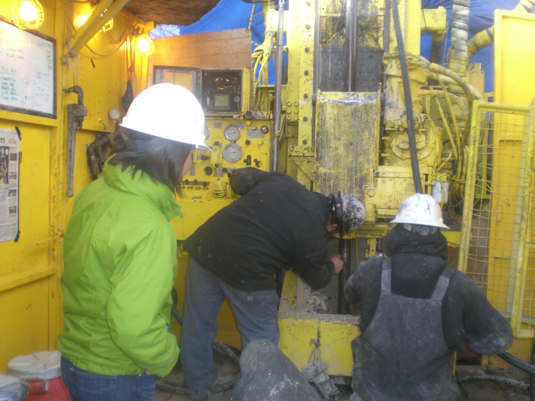
This USGS data release represents tabular data and water-level modeling files for the 16 Pahute Mesa multiple-well aquifer tests conducted from 2009–2014. The data release was produced in...
Search relevance: 51.61 | Views last month: 0 -
The Snake River Plain (SRP), Idaho, hosts potential geothermal resources due to elevated groundwater temperatures associated with the thermal anomaly Yellowstone-Snake River hotspot. Project...
Search relevance: 50.87 | Views last month: 0 -
The Snake River Plain (SRP), Idaho, hosts potential geothermal resources due to elevated groundwater temperatures associated with the thermal anomaly Yellowstone-Snake River hotspot. Project...
Search relevance: 48.43 | Views last month: 0 -
This digital dataset was created as part of a U.S. Geological Survey hydrologic resource assessment and development of an integrated numerical hydrologic model of the hydrologic system of the...
Search relevance: 48.29 | Views last month: 0 -
This dataset was created in support of a study focusing on groundwater resources in the Great Basin carbonate and alluvial aquifer system (GBCAAS). The GBCAAS is a complex aquifer system...
Search relevance: 44.83 | Views last month: 0 -
Over the past 15 years Douglas County, NV has removed production wells in northern Carson Valley from use due to relatively high arsenic concentrations (Carl Ruschmeyer, January 2013, Douglas...
Search relevance: 43.12 | Views last month: 1 -
The U.S. Geological Survey collected groundwater samples from 67 wells and 1 spring used for domestic and small system drinking water supplies in Placer, El Dorado, Amador, and Calaveras Counties,...
Search relevance: 38.18 | Views last month: 0 -
This dataset was created in support of a U.S. Geological Survey (USGS) study focusing on groundwater resources in the Great Basin carbonate and alluvial aquifer system (GBCAAS). The GBCAAS is a...
Search relevance: 37.97 | Views last month: 0 -
This digital data set defines the altitudes of the tops of 16 model layers simulated in the Death Valley regional ground-water flow system (DVRFS) transient flow model. The area simulated by the...
Search relevance: 37.67 | Views last month: 0 -
The U.S. Geological Survey collected groundwater samples from 67 wells and 1 spring used for domestic and small system drinking water supplies in Placer, El Dorado, Amador, and Calaveras Counties,...
Search relevance: 37.02 | Views last month: 0 -
This digital data set defines the altitudes of the tops of 16 model layers simulated in the Death Valley regional ground-water flow system (DVRFS) transient flow model. The area simulated by the...
Search relevance: 37.01 | Views last month: 0
