
Found 188 datasets matching "well photos".
-
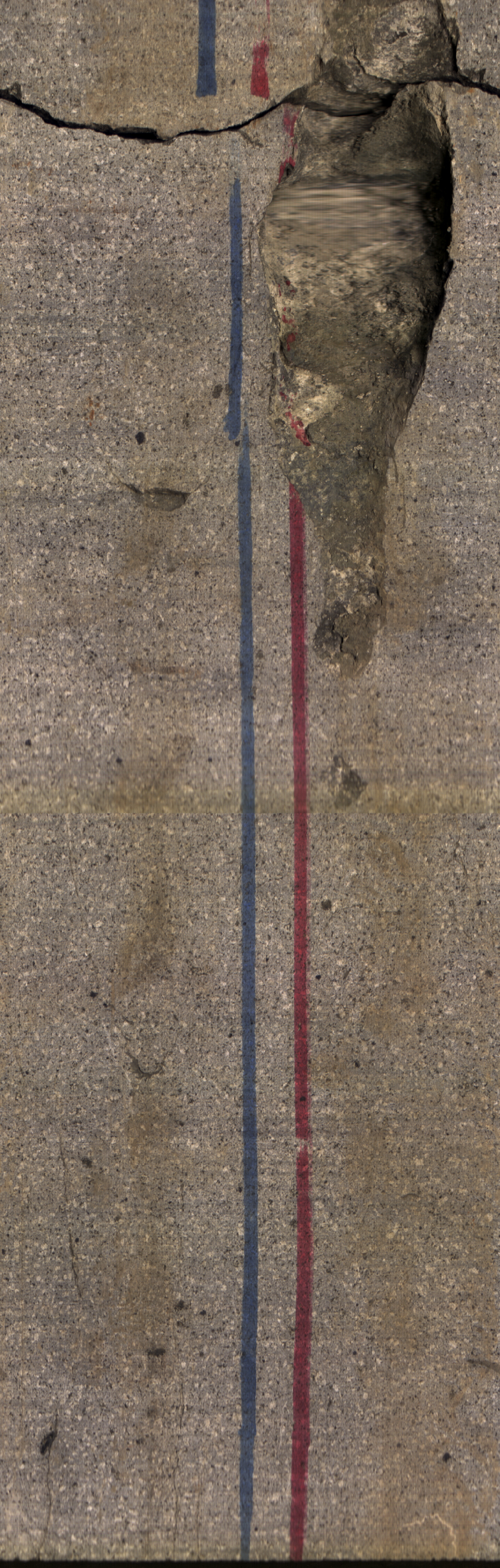
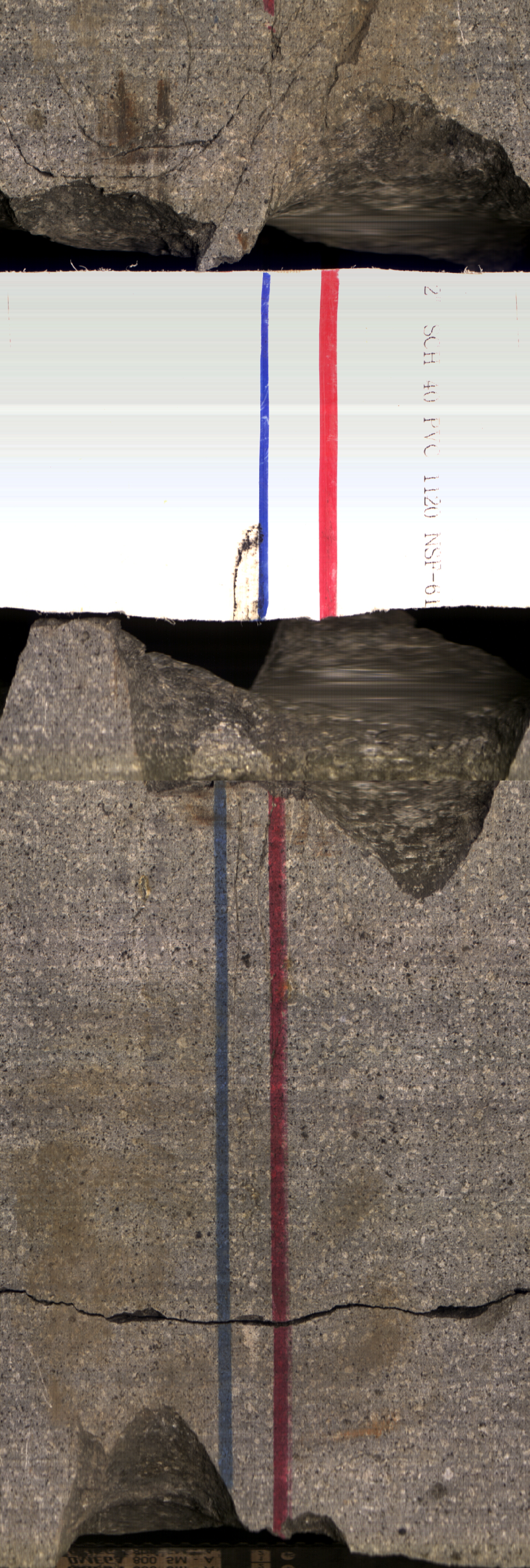
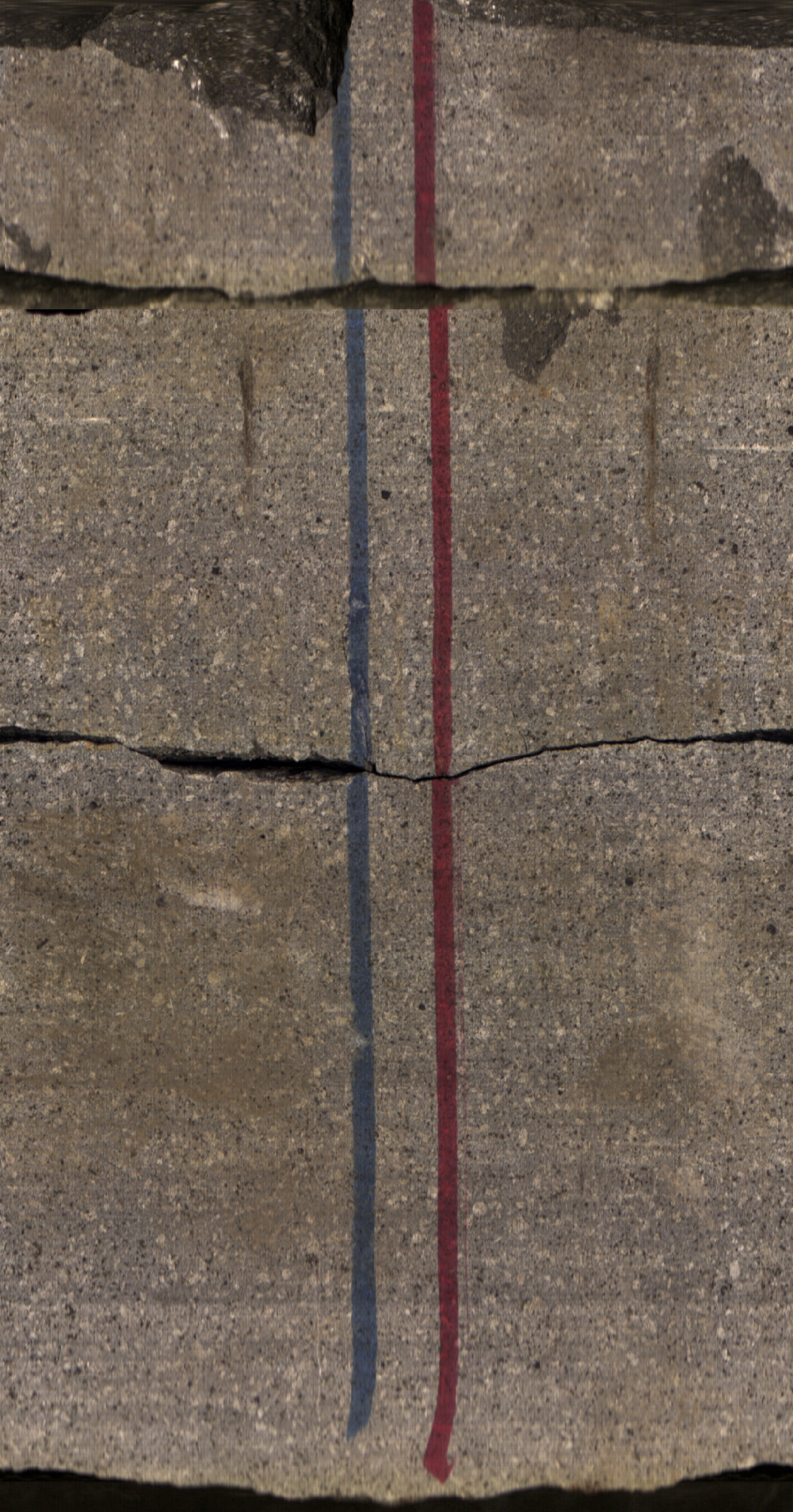
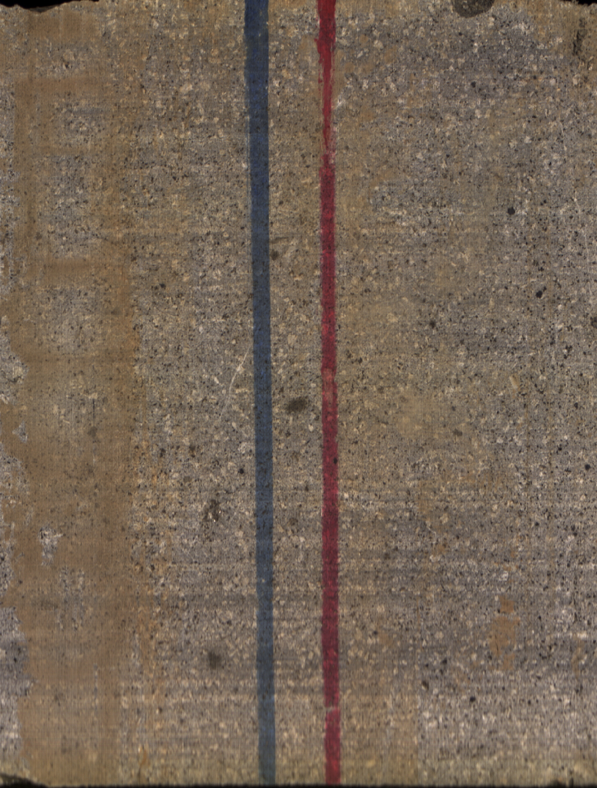
This is a set of 42 core photos, in boxes, from Utah FORGE well 78B-32. The photos show the core both wet and dry from depths of 6700 - 6737 feet and 8502 - 8538 feet.
Search relevance: 165.51 | Views last month: 1 -
Photos and detailed downhole lithology notes for wells CGEH-1 and 74-2 at the West Flank Coso, Ca FORGE location.
Search relevance: 129.36 | Views last month: 0 -
The Snake River Plain (SRP), Idaho, hosts potential geothermal resources due to elevated groundwater temperatures associated with the thermal anomaly Yellowstone-Snake River hotspot. Project...
Search relevance: 126.29 | Views last month: 0 -
The Snake River Plain (SRP), Idaho, hosts potential geothermal resources due to elevated groundwater temperatures associated with the thermal anomaly Yellowstone-Snake River hotspot. Project...
Search relevance: 118.08 | Views last month: 0 -
The Snake River Plain (SRP), Idaho, hosts potential geothermal resources due to elevated groundwater temperatures associated with the thermal anomaly Yellowstone-Snake River hotspot. Project...
Search relevance: 116.88 | Views last month: 0 -
As part of a research study in cooperation with the U.S. Environmental Protection Agency (EPA) and the U.S. Army at Fort Irwin National Training Center, the U.S. Geological Survey (USGS) evaluated...
Search relevance: 95.55 | Views last month: 0 -
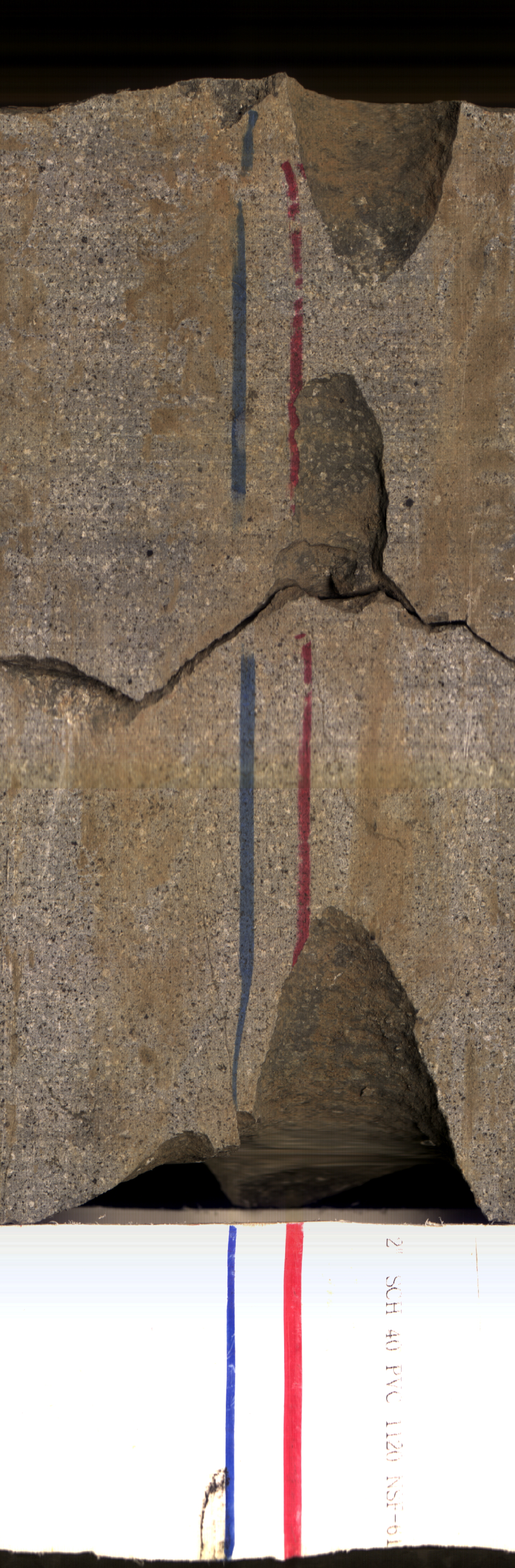
Images of core samples collected from Utah FORGE well 16A(78)-32. These images were created by stitching together multiple photographs resulting in a circumferential view of the cores exterior in...
Search relevance: 86.74 | Views last month: 0 -
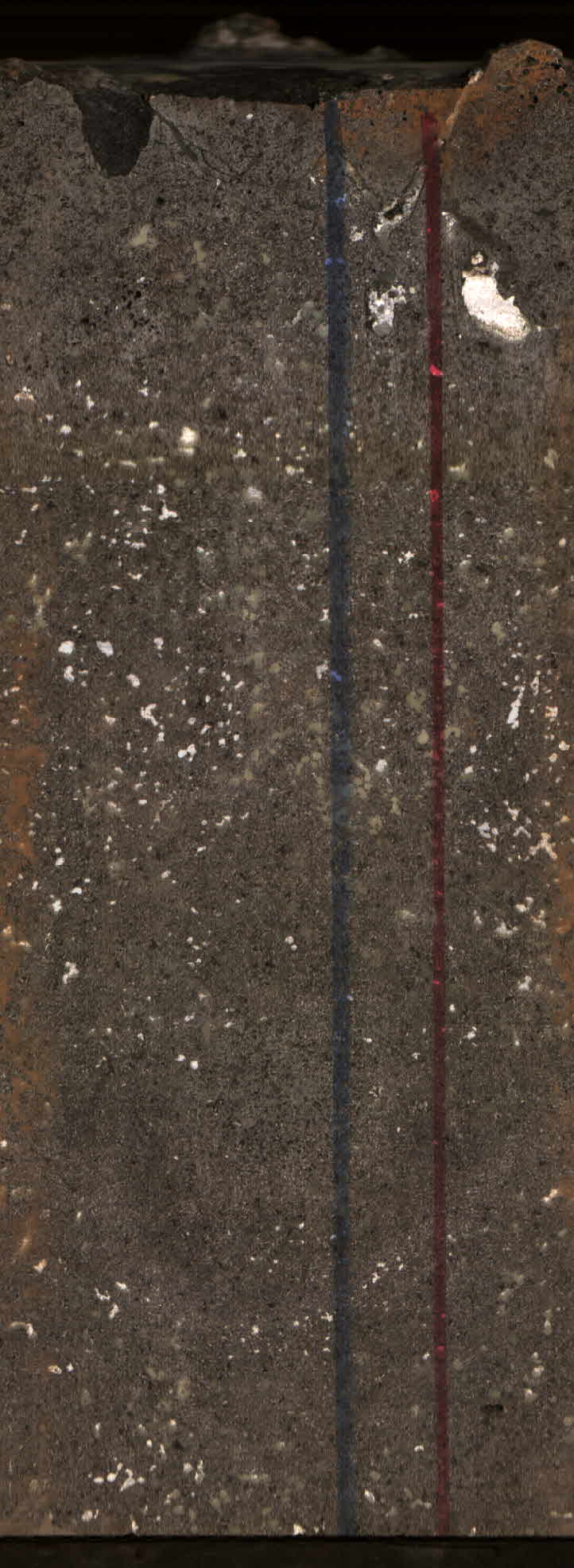
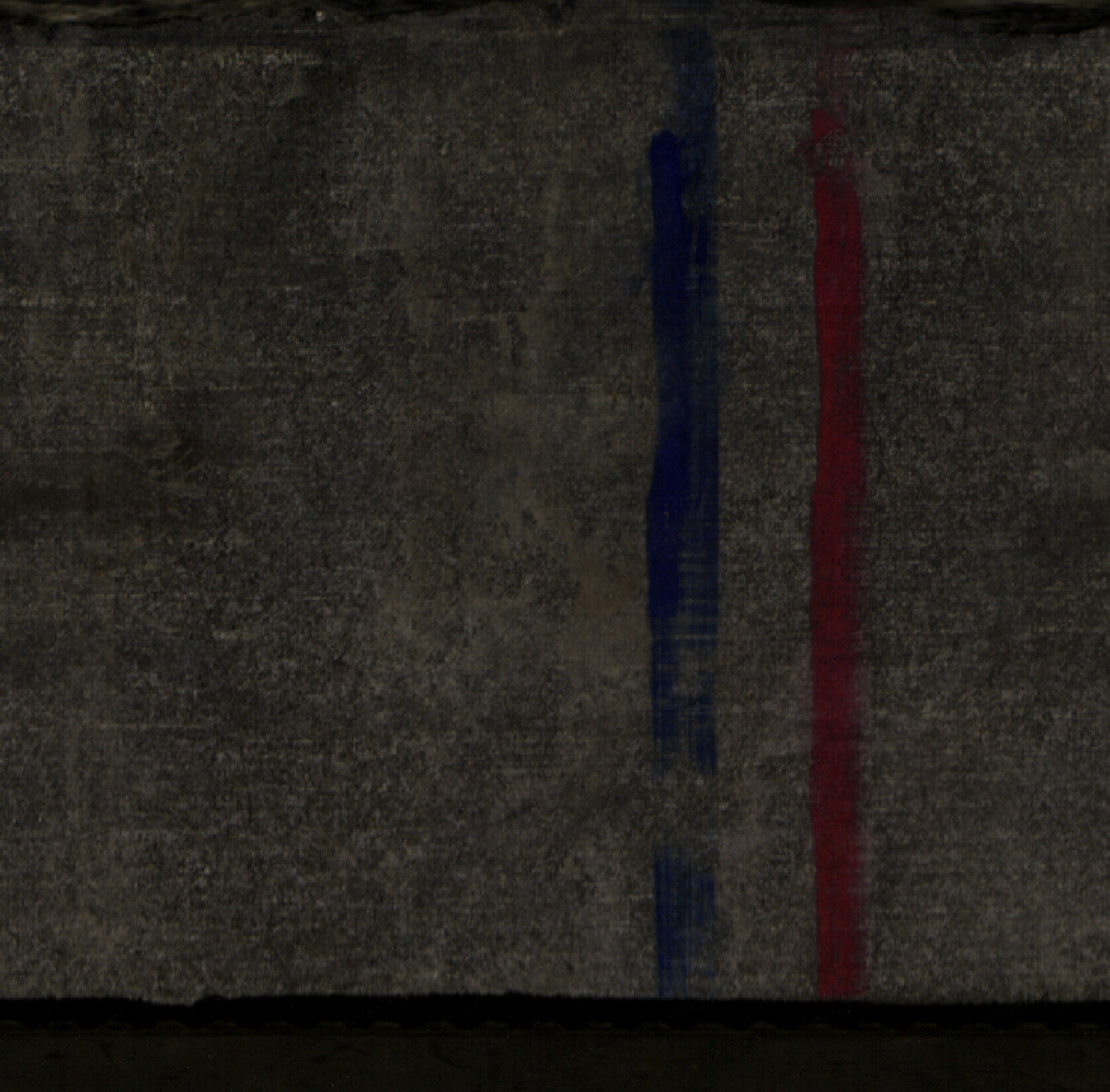
This dataset includes images of core samples collected from Utah FORGE well 16B(78)-32. The images are stitched photographs showing the circumferential view of the cores exterior in two dimensions...
Search relevance: 86.67 | Views last month: 0 -
The Hawaii Play Fairway Project deepened an already existing water well in Palawai Basin, Lanai island. Lanai Well #10 was deepened from 427 m to ~1057 m, with nearly continuous rock core...
Search relevance: 76.98 | Views last month: 2 -
Well data for the USGS-142 well located in eastern Snake River Plain, Idaho. This data collection includes lithology reports, borehole logs, and photos of rhyolite core samples. This collection...
Search relevance: 71.65 | Views last month: 0 -
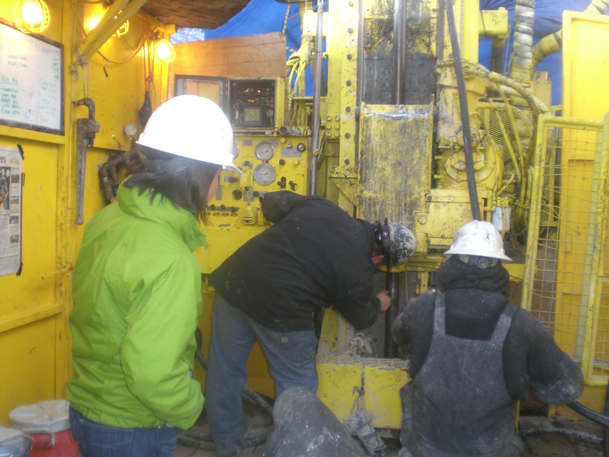
This dataset includes survey data, drilling data, daily reports, summaries of daily operations, and rig photos from the drilling of Utah FORGE well 16A(78)-32, which is a highly deviated deep...
Search relevance: 69.70 | Views last month: 1 -
This submission contains the following data associated with Utah FORGE Phase 2C within the Roosevelt Hot Springs geothermal area: - An ArcGIS shapefile with well locations for wells 58-32, 78-32,...
Search relevance: 69.48 | Views last month: 0 -
Photos of core samples from Lanai Island. During the third phase of the Hawaii Play Fairway project, further exploration involved drilling a groundwater well in Lanai's Palawai Basin and...
Search relevance: 69.34 | Views last month: 1 -
This contains the photos in .jpg format embedded with the exchangeable image file (EXIF) metadata recorded by the cameras (e.g., time, date, camera settings) as well as metadata tags specific to...
Search relevance: 45.32 | Views last month: 1 -
As part of the shear induced permeability test, the rock cores were also scanned with X-ray Computed Tomography (CT) before and after sustainability tests using a modified GE Lightspeed 16 medical...
Search relevance: 42.11 | Views last month: 0 -
Since 1980, the Cetacean Assessment and Ecology Program of the National Marine Mammal Laboratory has been collecting photos of humpback whales (Megaptera novaeangliae) in Alaskan waters. ...
Search relevance: 41.94 | Views last month: 1 -
This submission contains photographs of rock core collected from EGS Collab Experiment 2 (and 3) boreholes. Cores were generally photographed in about 1-foot sections using Nikon D3300 DSLR...
Search relevance: 41.68 | Views last month: 0 -
The reports contain a wealth of information about city finances such as independent auditor's reports, statements of revenues and expenditures, net assets, property tax levies as well as...
Search relevance: 41.54 | Views last month: 0 -
This reference contains the imagery data used in the completion of the baseline vegetation inventory project for the NPS park unit. Orthophotos, raw imagery, and scanned aerial photos are common...
Search relevance: 40.82 | Views last month: 2 -
This shapefile denotes the location of underwater photos and/or video that were collected by NOAA scientists using a Spectrum Phantom S2 ROV (remotely operated vehicle). Photos and/or video were...
Search relevance: 40.65 | Views last month: 0
