
Found 180 datasets matching "drilling core data".
-
Archive of Core and Site/Hole Data and Photographs from the Integrated Ocean Drilling Program (IODP)
The US Science Operator for the Integrated Ocean Drilling Program (IODP) operated the drilling vessel JOIDES Resolution from 2004-2013 for worldwide expeditions numbering between 301 through 346....
Search relevance: 142.50 | Views last month: 0 -
The Deep Sea Drilling Project (DSDP) operated the D/V GLOMAR CHALLENGER from 1968-1983, drilling 1,112 holes at 624 sites worldwide. The DSDP was funded by the US National Science Foundation and...
Search relevance: 133.49 | Views last month: 1 -
The Ocean Drilling Program (ODP) operated the drilling vessel JOIDES Resolution from 1984-2003 for over 100 cruises worldwide. The ODP was funded by the U.S. National Science Foundation...
Search relevance: 124.92 | Views last month: 0 -
The Ocean Drilling Program (ODP) operated the drilling vessel JOIDES Resolution from 1984-2003 for over 100 cruises worldwide. The ODP was funded by the U.S. National Science Foundation and...
Search relevance: 123.22 | Views last month: 0 -
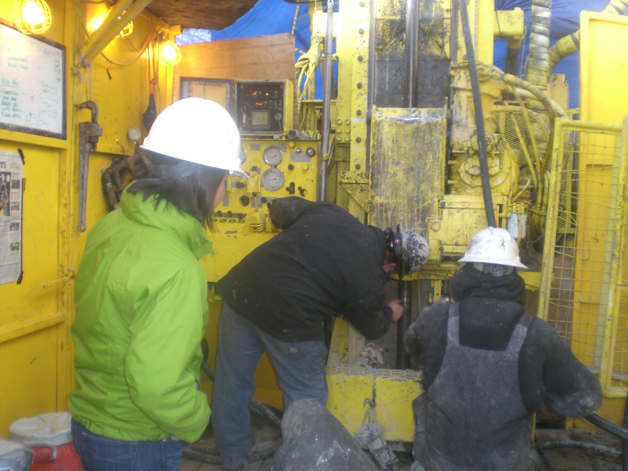
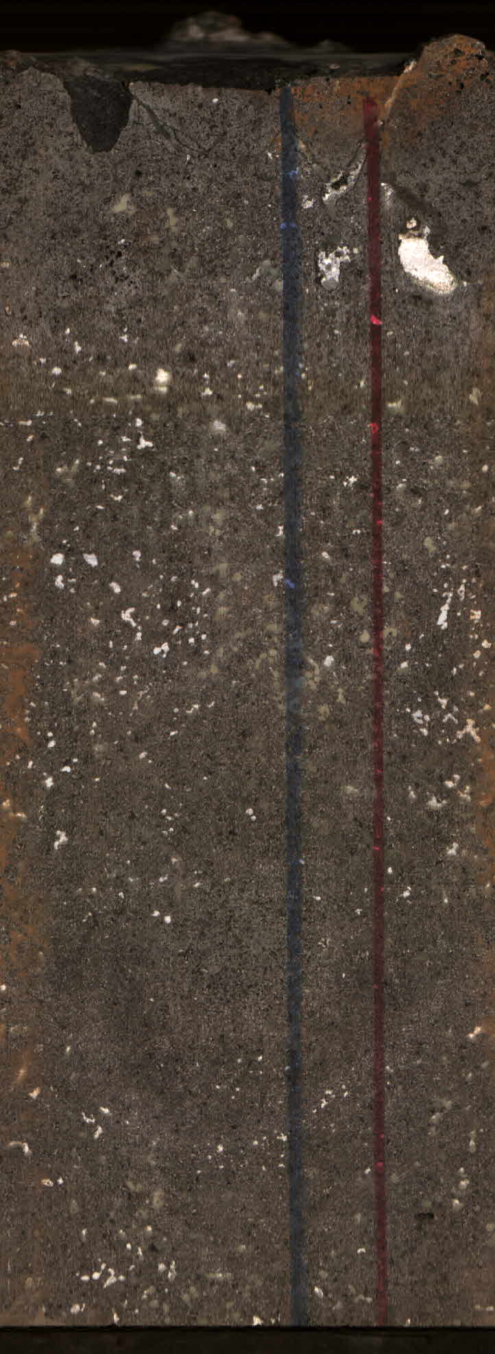
This dataset contains drilling core data from well 16B(78)-32, including PDF documents with flattened core images annotated by feature type and core interval, as well as spreadsheets detailing...
Search relevance: 92.44 | Views last month: 3 -
This drilling data for Utah FORGE well 16B(78)-32 include a well survey, core summary, mud and mud temperature logs, daily reports of the drilling process, and additional data from the Pason oil...
Search relevance: 92.04 | Views last month: 5 -
This submission includes lithology logs for all Fallon FORGE area wells; determined from core, cuttings, and thin section. Wells included are 84-31, 21-31, 82-36, FOH-3D, 62-36, 18-5, 88-24,...
Search relevance: 70.02 | Views last month: 5 -
The northeastern North Carolina coastal system, from False Cape, Virginia, to Cape Lookout, North Carolina, has been studied by a cooperative research program that mapped the Quaternary geologic...
Search relevance: 61.19 | Views last month: 0 -
The northeastern North Carolina coastal system, from False Cape, Virginia, to Cape Lookout, North Carolina, has been studied by a cooperative research program that mapped the Quaternary geologic...
Search relevance: 54.87 | Views last month: 0 -
Texas A&M University operates the drilling vessel JOIDES Resolution for the International Ocean Discovery Program (IODP). The International Ocean Discovery Program (IODP) began operating in the...
Search relevance: 52.70 | Views last month: 0 -
In 2019 and 2020, the U.S. Geological Survey (USGS), in cooperation with the U.S. Department of Energy (DOE) for Naval Reactors Laboratory Field Office or Naval Reactors Facility (NRF), drilled...
Search relevance: 51.24 | Views last month: 4 -
Texas A and M University (TAMU), JOIDES Resolution Science Operator of the International Ocean Discovery Program (IODP), is a partner in the Index to Marine and Lacustrine Geological Samples...
Search relevance: 51.19 | Views last month: 1 -
In 2020, the U.S. Geological Survey (USGS), in cooperation with the U.S. Department of Energy (DOE) for Naval Reactors Laboratory Field Office or Naval Reactors Facility (NRF), drilled and...
Search relevance: 51.03 | Views last month: 1 -
The Hawaii Play Fairway Project deepened an already existing water well in Palawai Basin, Lanai island. Lanai Well #10 was deepened from 427 m to ~1057 m, with nearly continuous rock core...
Search relevance: 50.93 | Views last month: 2 -
As part of a research study in cooperation with the U.S. Environmental Protection Agency (EPA) and the U.S. Army at Fort Irwin National Training Center, the U.S. Geological Survey (USGS) evaluated...
Search relevance: 47.97 | Views last month: 0 -
Analytical results for X-ray fluorescence (XRF) and inductively coupled plasma mass spectrometry (ICP-MS) measurement of major, trace and rare earth elements in drill core from geothermal wells...
Search relevance: 47.03 | Views last month: 0 -
In 2016, the U.S. Geological Survey (USGS), in cooperation with the U.S. Department of Energy (DOE), drilled and constructed borehole USGS 144 (433021112552501) for stratigraphic framework...
Search relevance: 46.92 | Views last month: 0 -
A monitoring well was installed in the Wasatch aquifer in the Green River Basin, Sublette County, Wyoming in August 2015. Core collected during drilling activities was described to a depth of 170...
Search relevance: 46.65 | Views last month: 0 -
The Snake River Plain (SRP), Idaho, hosts potential geothermal resources due to elevated groundwater temperatures associated with the thermal anomaly Yellowstone-Snake River hotspot. Project...
Search relevance: 46.58 | Views last month: 0
